EFAS Model Validation
Location: Spain

Challenge
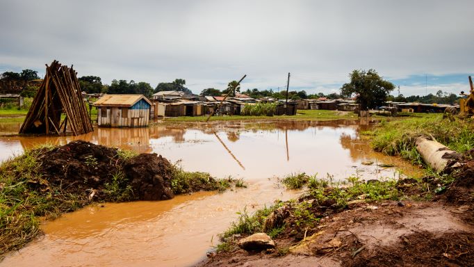
The European Flood Awareness System (EFAS) is a service of the Copernicus Management Service (CEMS). It is designed to support preparatory measures for flood events across Europe, particularly in large trans-national river basins. To support validation of EFAS, Rijkswaterstaat (the Dutch Public Works) via Deltares requested FloodTags to analyze the floods in the Northern parts of Spain, from 1 December 2019 until 5 January 2020. So that they could compare EFAS output with the observations of the floods in the media.
Solution
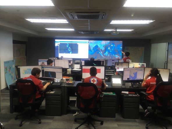
By using any relevant media data, we created a detailed account of the flood event in spatial overviews, timelines and day-to-day reports. As data source we used Twitter and links from Twitter, which includes both observations of citizens but also news articles that were put on Twitter by news agencies. The inventory showed how the Miño caused severe flooding in and around Lugo, A Coruña and Pontevedra. In the Ebro basin the overflow of the rivers Agra and Ulzama (tributary of the Agra) caused floods in and around Pamplona, while overflow of the river Híjar caused floods in and around Reinosa. Finally the Douro basin had many different places of inundation, of which the province of Léon was most affected. The result was documented in a FloodTags Events Summary Report.
Inspiration
Using media data for model validation is highly effective. Not only creating histories of events, but also going into deep into a single event, finding out what has exactly been going on on-the-ground.
More Stories