Real-time flood monitor for the Met Office, United Kingdom
Location: Exeter and Edinburgh, United Kingdom
Related stories
Challenge
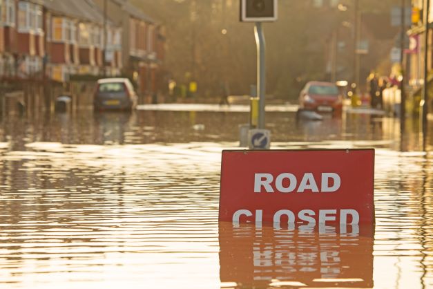
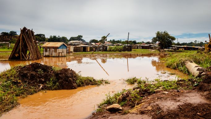
During severe weather events, the Met Office and its partnership with the Environment Agency at the Flood Forecasting Centre (FFC) seek vital on-the-ground information. This information is crucial for enhancing situational awareness, validating forecasts, and facilitating post-event verification. They requested FloodTags to deliver real-time monitoring of severe weather impacts in the United Kingdom, based on social media data.
Solution
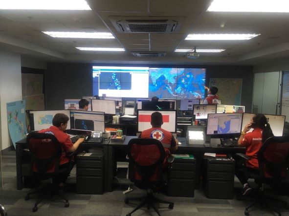
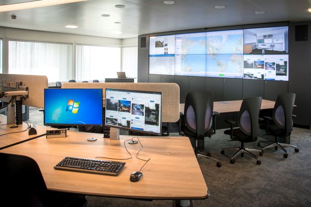
Responding to this need, FloodTags customized its real-time flood monitor to cater to the requirements of the Met Office. The system is now fully operational in the Services Operation Centre at the Met Office in Exeter, UK. It is being used for:
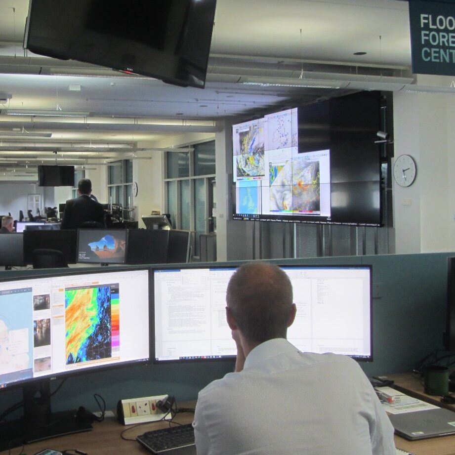
- Operational situational awareness: Hydrometeorologists at the Flood Forecasting Centre (FFC) and Civil Contingency Advisors across the Met Office actively monitor real-time situations, gaining immediate awareness of the on-the-ground impact, regardless of whether floods were anticipated or not.
- Real-time updates of forecasts: After issuing a National Severe Weather Warning and/or flood risk guidance, meteorologists actively monitor the situation via FloodTags, to detect any weather impact occurrences and confirm the accuracy of the forecast in real-time. For both false positives (impact was forecast but no impact happening) as well as false negatives (impact happening, while not forecasted), social media provides important data to verify the forecast in real time. The information is discussed internally and may lead to updates of the forecast. Urgent observations are immediately shared to the internal Teams channel (650 people).
- Support for post-event verification by the National Severe Weather Warning Service and the Flood Guidance Statement: After an event (flood, snow, wind etc), the Met Office and FFC produce verification statistics and post event reports to review their performance so they can learn for future improvement.
- Generation of impact datasets and event databases, that enable validation and recalibration of specialised hazard impact models (such as the Surface Water Flooding Hazard Impact Model).
Inspiration
We run the same software among others for
- The Irish meteological service (MetEireann)
- The Malaysian Disaster Management Department (NADMA)
- The Philippine Red Cross (PRC)
- A large global satellite operator
- A large reinsurer
- And others


